

openaddress ATAK Plugin
ATAK Plugins · Adeptus Cyber Solutions
openaddress ATAK Plugin.
Offline geocoding for ATAK — bring OpenAddresses.io address data directly into the field without network connectivity. Convert addresses to coordinates and back, seamlessly integrated into the standard ATAK coordinate entry display.

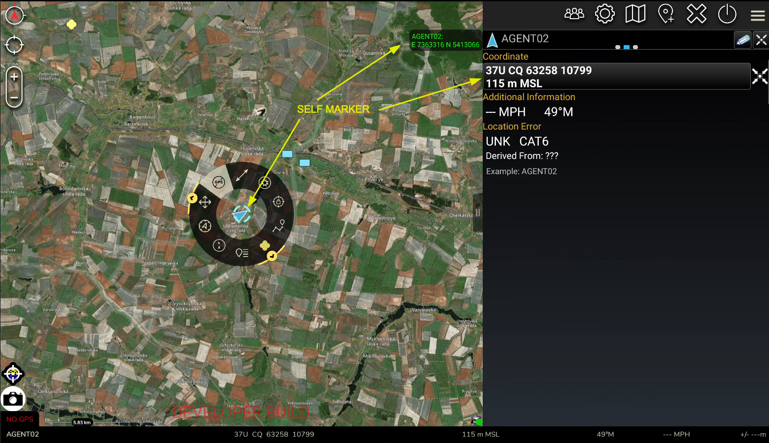
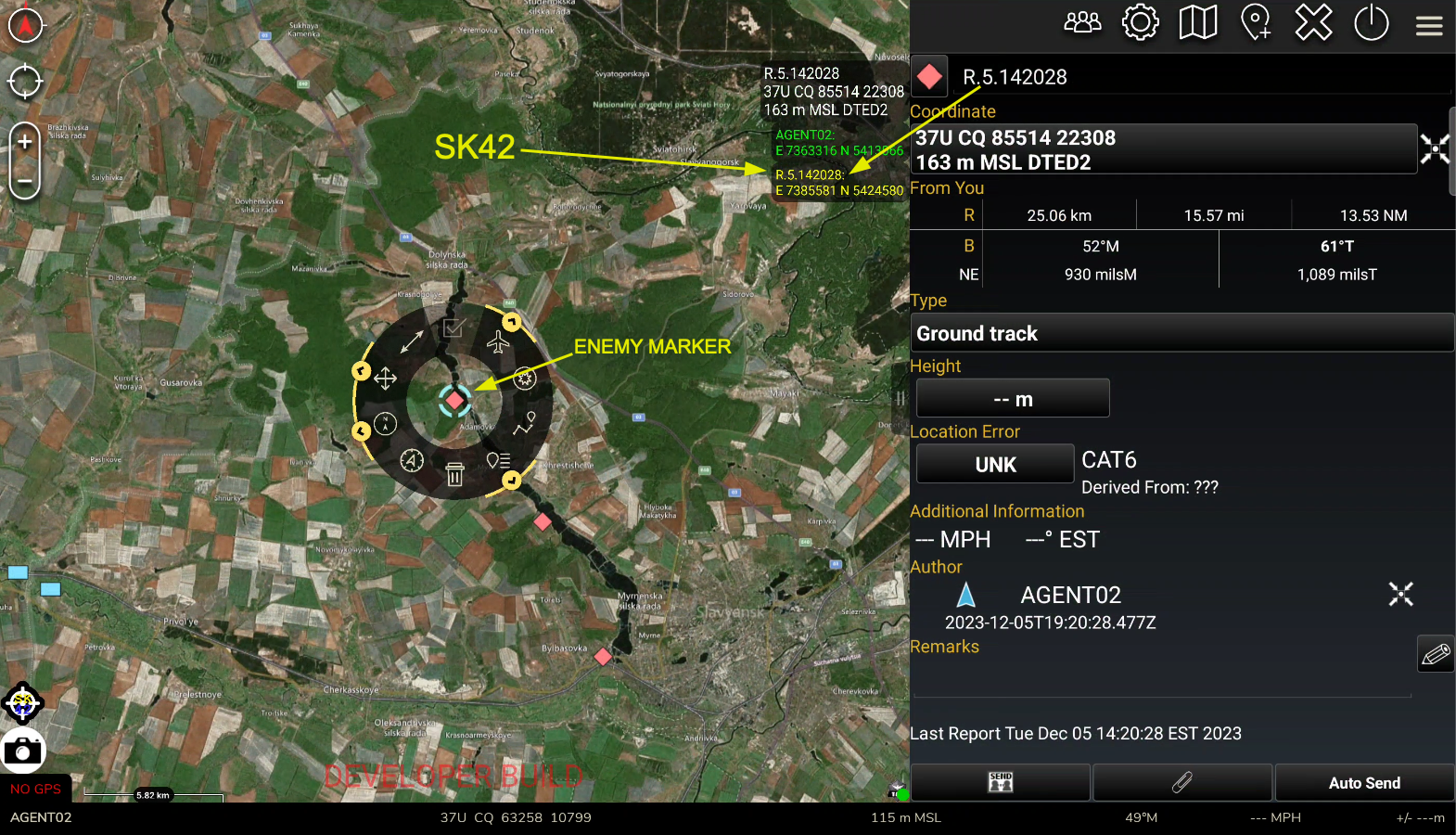
The ProblemGeocoding stops working the moment you lose network connectivity.While ATAK excels as a moving map platform, its full capabilities depend on network connectivity. Without a network, critical functions like geocoding — converting addresses to coordinates or vice versa — are unavailable. In disconnected, intermittent, and low-bandwidth (DDIL) environments, that gap is a real operational problem. The ACS SolutionACS developed the openaddress plugin to bring OpenAddresses.io data directly into ATAK. Users can access address data offline through the standard ATAK coordinate entry display — quick, seamless, and requiring no network connection in the field. Developed by the ACS engineering team in Rome, NY, where our engineers build TAK integrations daily for DoD and government programs operating in exactly these environments. |
Key Capabilities
✓ Fully offline geocoding in ATAK Need a custom offline data integration? Contact ACS. |
In Action
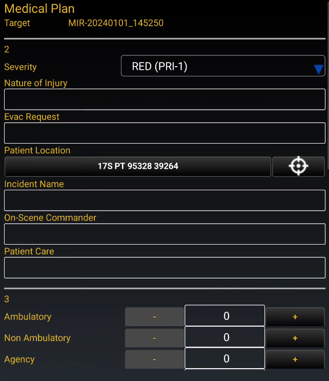
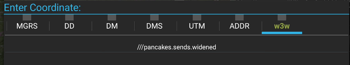
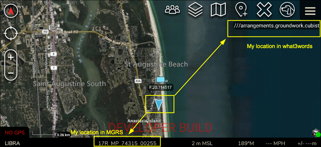
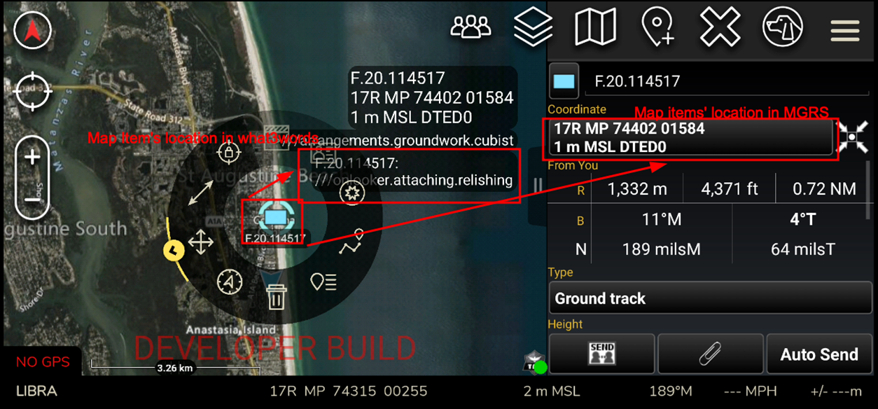
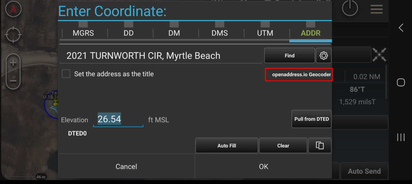
Geocoding inside the ATAK Coordinate Entry panel — no network required.
The openaddress plugin adds a geocoder to ATAK accessible directly from the Coordinate Entry panel, giving operators address data wherever they operate.
Get a Demo
Ready to bring offline geocoding to your TAK deployment?
Contact ACS for a demo of the openaddress plugin or to discuss custom offline data integrations for your ATAK environment.